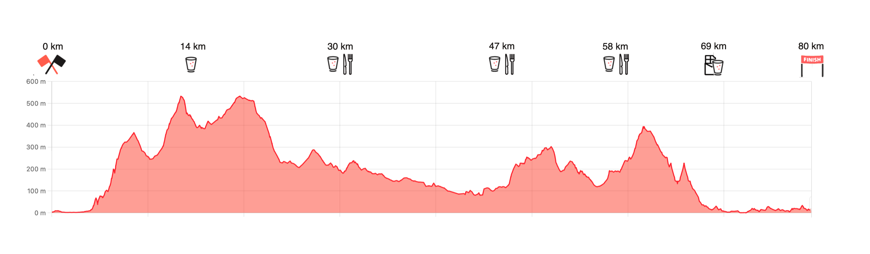
Trail 80 km
THE TRAIL
From the start, a long and varied adventure awaits you through town, forest and fields before you return to the same place,
over 80 kilometers later.
The first few kilometers follow the fjord promenade along the pier towards Skansen and Ilsvika. This is the most urban part of the race, where asphalt dominates. But it doesn't last long.
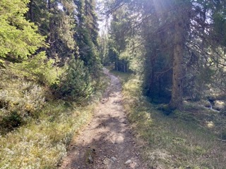
After about 5 km, the climb towards Bymarka begins, the city's green space with a mixture of paths and gravel.
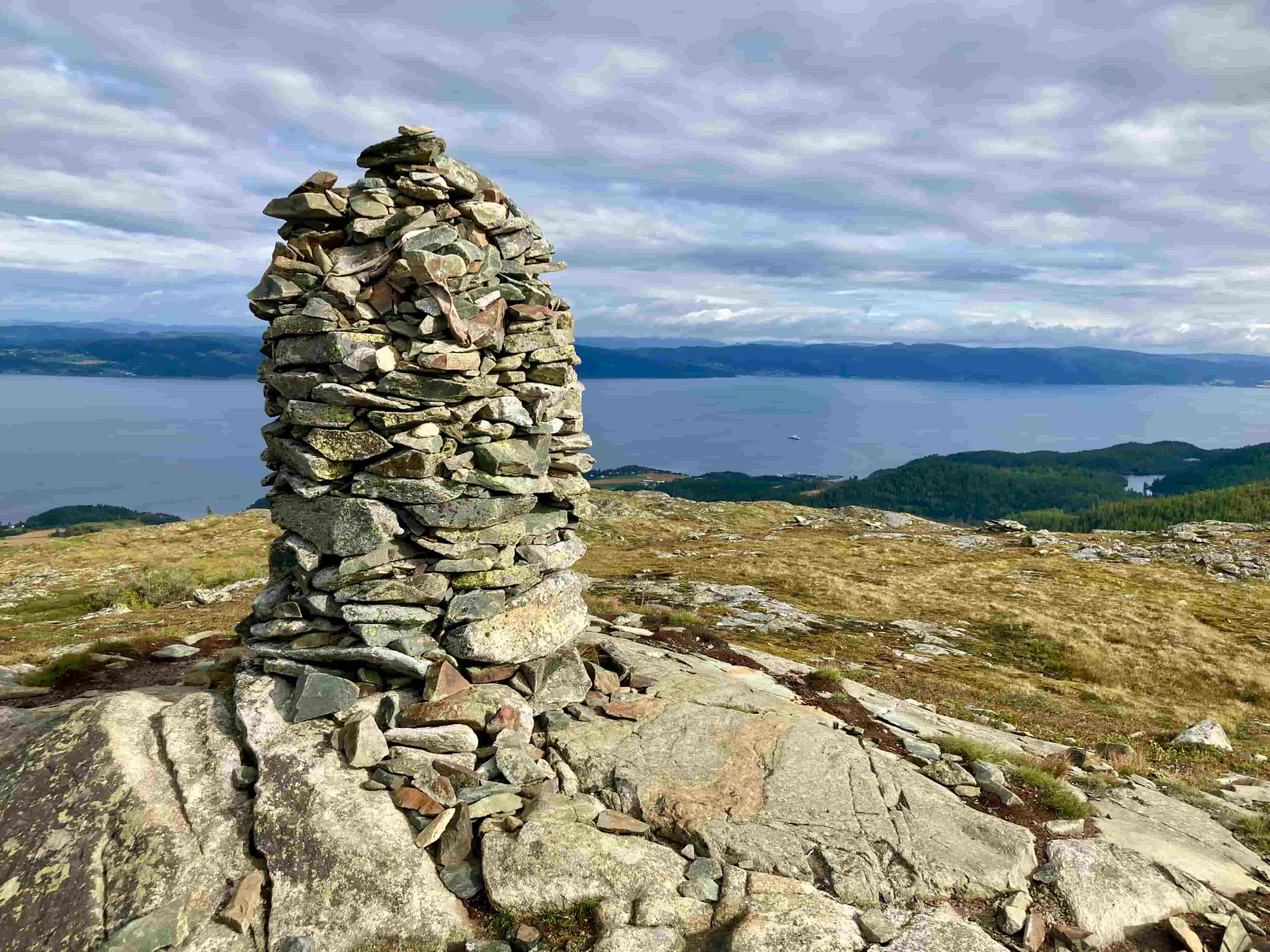
On the way up, you pass Våttåkammen (419 m), a local favorite with views of all of Trondheim.
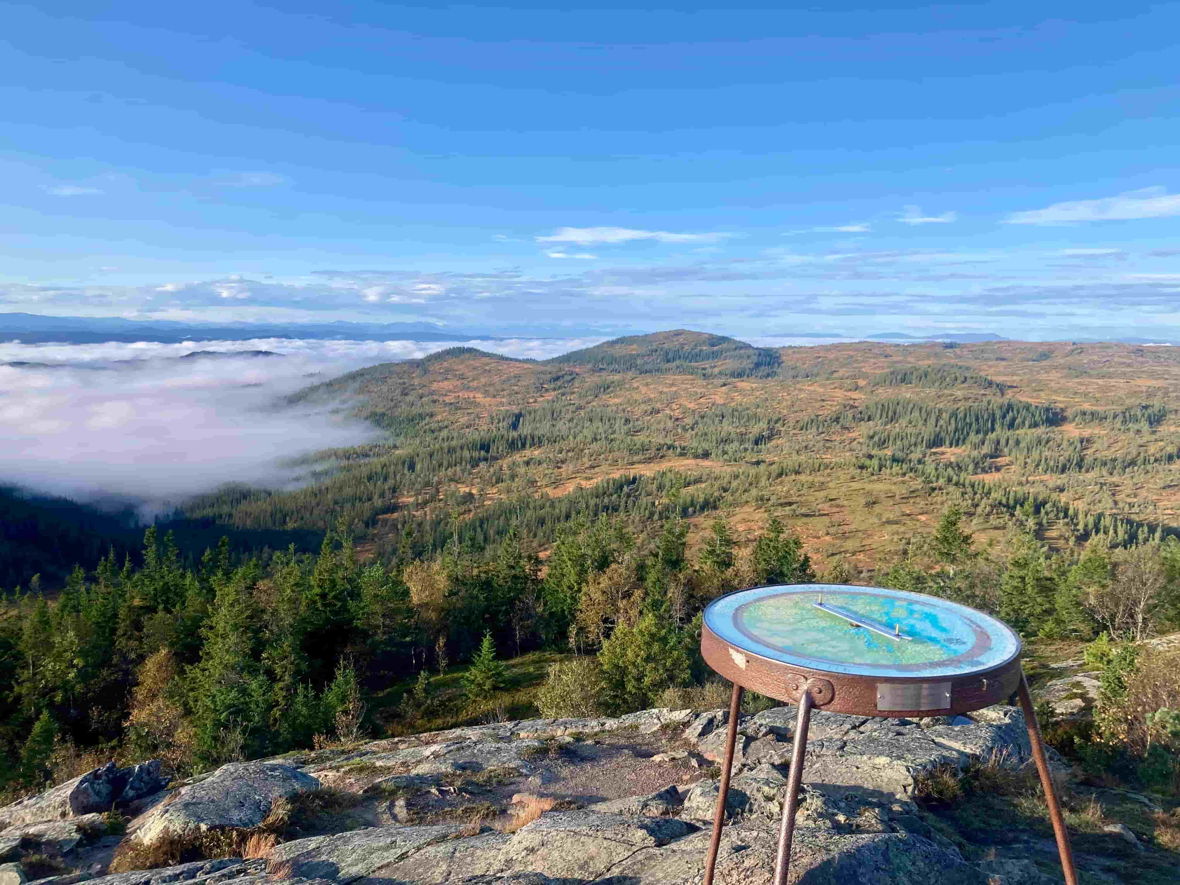
The trail winds past Geitfjellet before the trail's highest point at the top of Gråkallen (552 m above sea level).
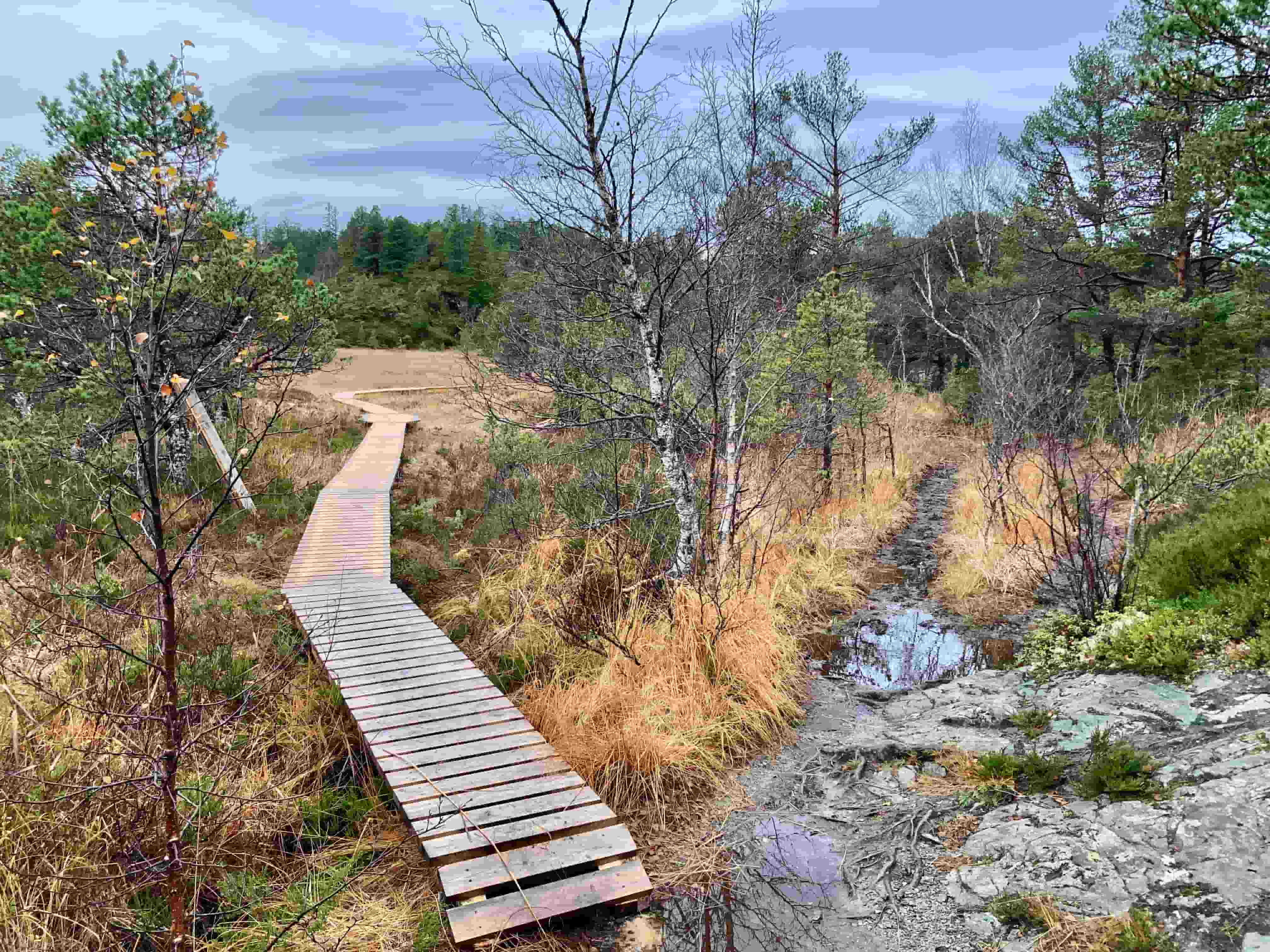
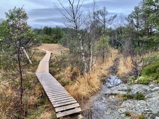
The first drinking station is at Skistua, about 14 km into the course. From there, the route continues past Elgsethytta, Bosbergheia (537 m) and Grønnlia, one of the most classic hiking areas in Bymarka. Here the trail alternates between open bogs and denser spruce forests.
After Rønningen, the trail heads south towards Granåsen, where the second drinking station will be. From here, it passes Søremsåsen before meeting asphalt again at the center of Heimdal – and over the E6.
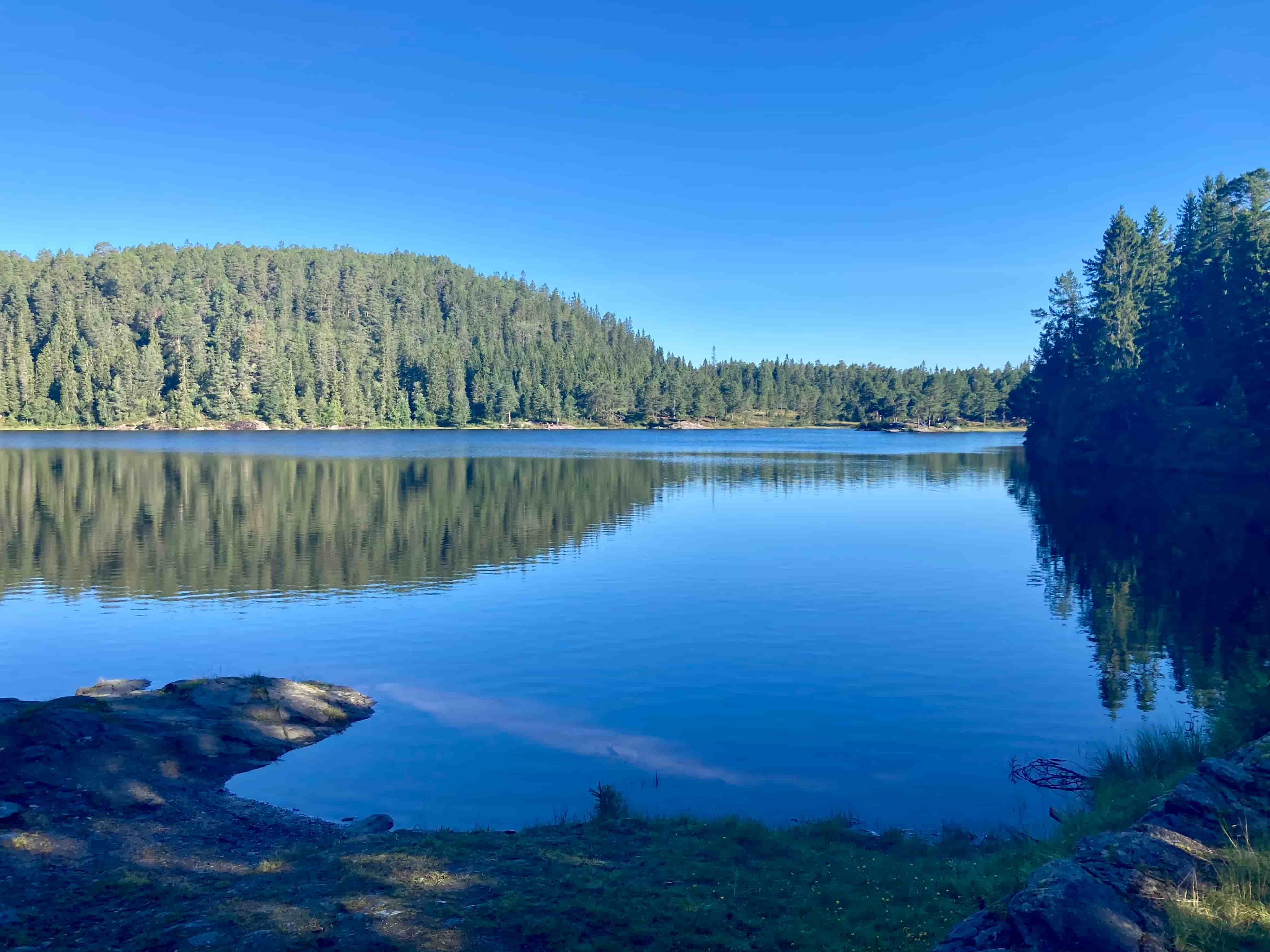
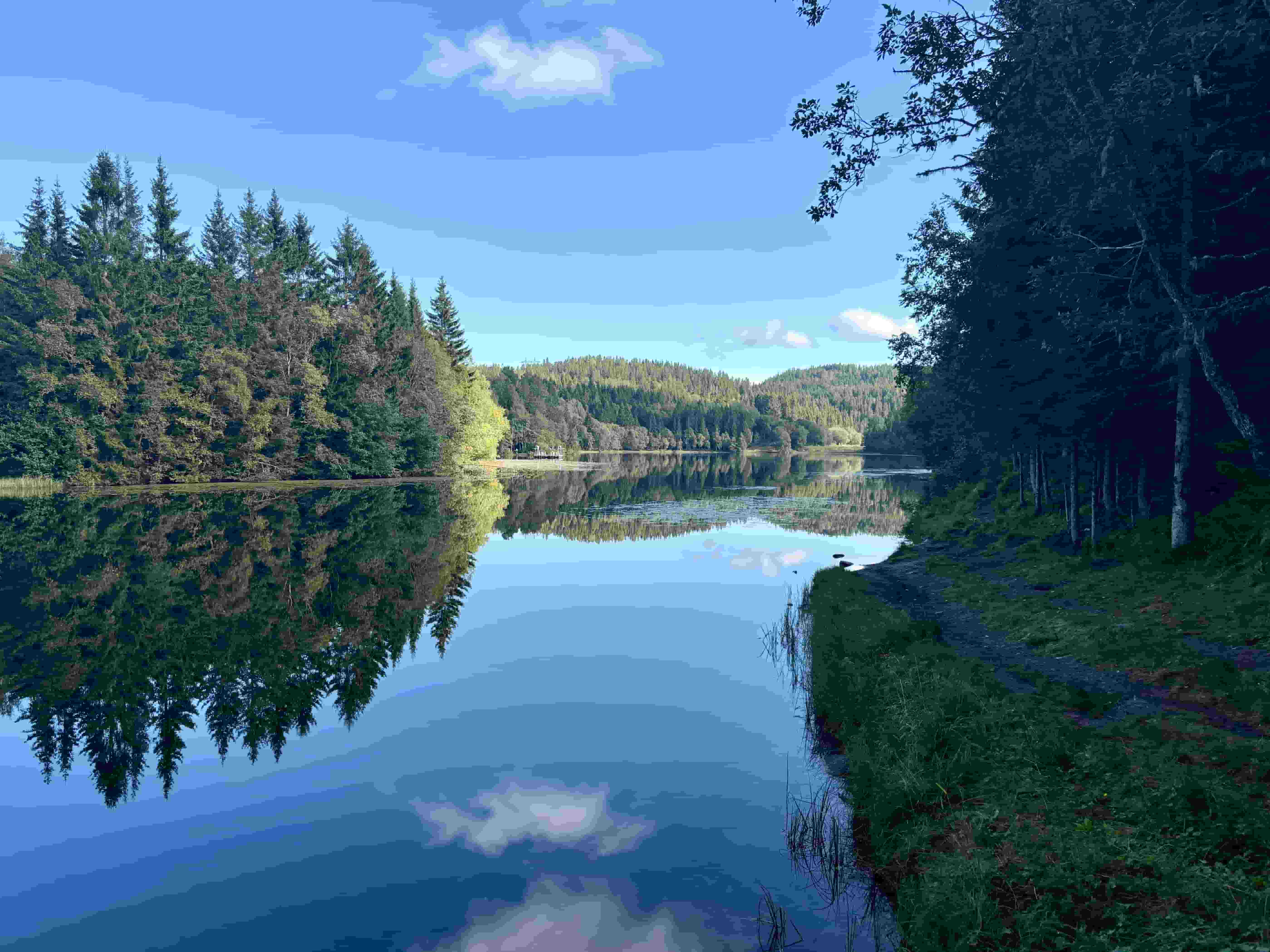
The trail then goes into Hårstadmarka and eventually meets the Nidelva. Here you follow the river for a short distance before you get to the other side at Øvre Leirfoss. From there you follow gravel roads to Utleira, where there is a new drinking station, before it rises again.
The next chapter is Estenstadsmarka. Here you pass Estenstadsdammen and Estenstadhytta, before descending towards Sæterbakken, and crossing the road to enter paths that lead to Markaplassen. There you will have a couple of kilometers on asphalt to Reppe Søndre farm, and the fourth drinking station of the distance.
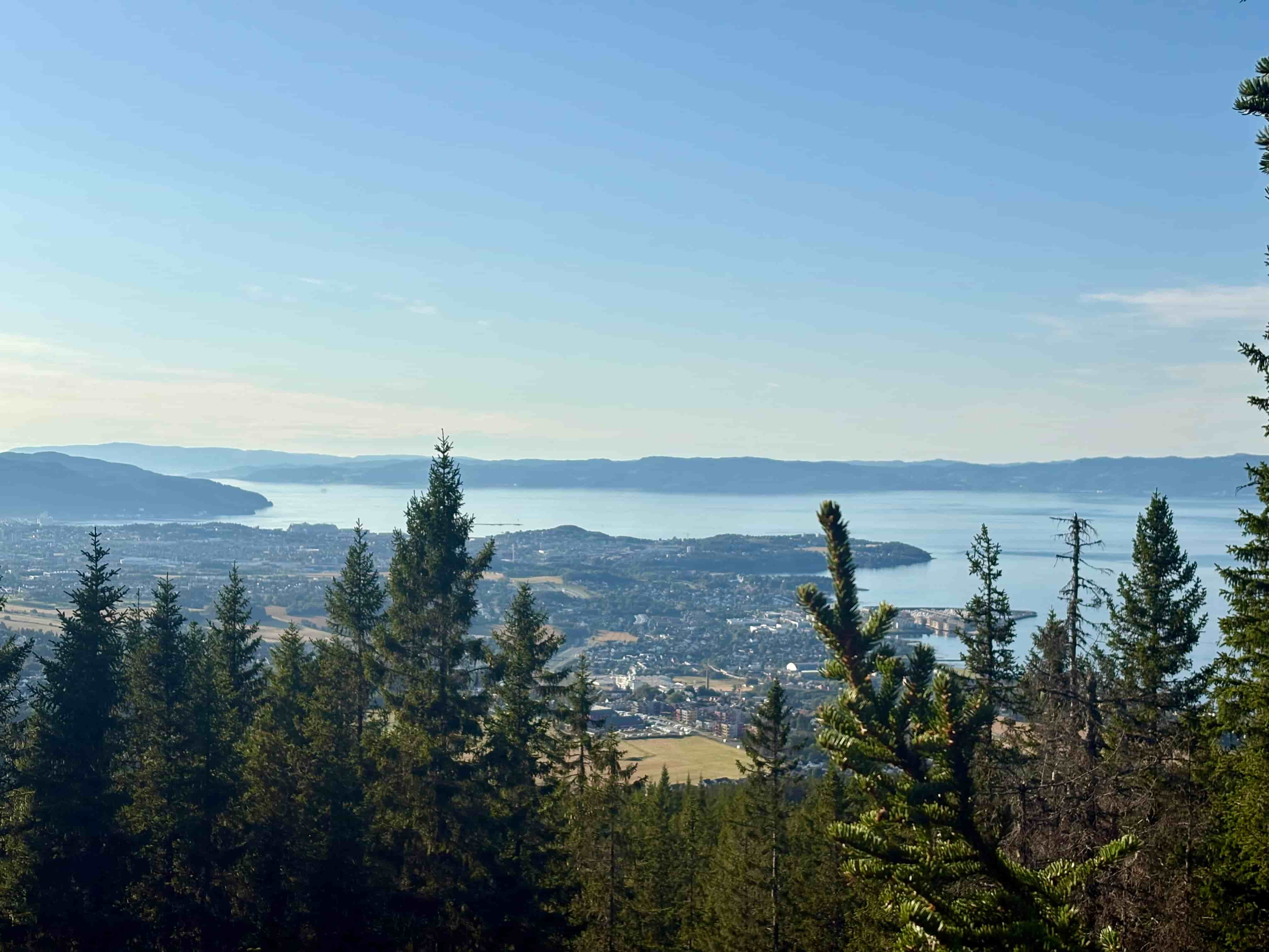
After the drinking station, the last major climb begins: up towards Solemsvåttan (435 m above sea level) on the most technical trail of the race.
This is the trail's last high point, and it's worth looking up; from here you can see both the fjord and the town you're returning to.
The descent goes towards Være , where you can smell the sea again. From here the trail connects to Ladestien , one of Trondheim's most popular hiking areas. The last drinking station is in Hansbakkfjæra – about 10 kilometers before the finish line.
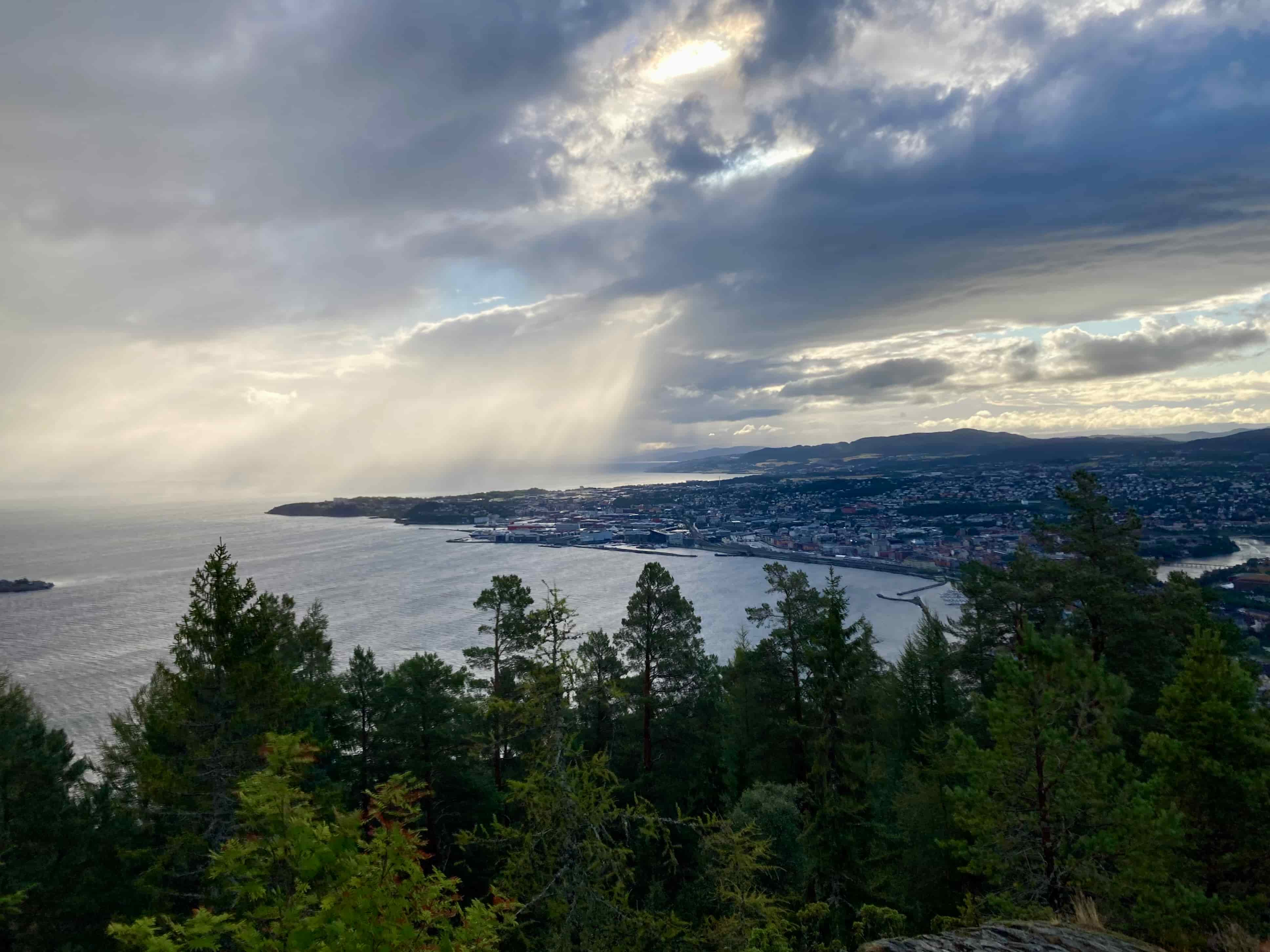
With views of the fjord and historical traces along the trail, the final section leads runners all the way back to Nyhavna , where the finish line and cheers await at Havet Arena.
This is a varied and demanding 80-kilometer route, with everything Trondheim has to offer, from urban areas and fjord views to mountain feeling and deep forests!
Stations: After 14 km – Ski lodge – drink
After 30 km – Granåsen – food and drink
After 47 km – Utleira – food and drink
After 58 km – Reppe Søndre Gård - food and drink
After 69 km – Hansbakkfjæra – snacks and drinks
Goal - Havet Arena - snacks and drinks
Detaljene
practical
Distribution of starting numbers
A text message will be sent to your registered mobile number in advance with your start number. If you do not receive the message, you will find your start number in your profile - but not until race week. Log in to the participant login, the same page as the registration page.
Wednesday: 11:00–19:00
Thursday: 10:00–19:00
Friday: 10:00–19:00
Address bib Distribution Anton Sport: City Lade, Haakon VIIs gt. 9
D-Day
Strandveien 104, Trondheim
The nearest bus stop is Strandveikaia and the nearest metrobus stop (line 2) is Ladeveien.
Portalen P-hus is the nearest car park.
At 6:00 AM
Four drink stations, three of which also have food

Drinks from start to first station:

Industry

Cup, soft bottle or similar.

Headlamp

Reflex

Survival cloth

Mobile phone

Bank card/ID card

Payment method
They did it!
in pictures
Mastery, community and emotions.
Prepare for the race
Do you have a question?
Most likely you will get an answer.
Event rules
Race ethics and registration conditions.
Our other distances

Trail 50 km
For experienced and beginners in ultra
Trail 33 km
The perfect distance?
Trail 22 km
A little longer than a half marathon

Trail 11 km
A quick trail along the fjord